I inquired
elsewhere about this region last October.
In one day, a
really serious hiker can cover most of the peaks on the southern half of the Ossipees and end back at their car. The trails' beginnings start at what I figured was a clear-cut for
"Castle in the Clouds II". (Not yet determined what the clear-cut is "about").
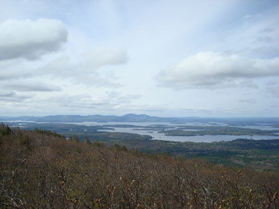
The Lake Winnipesaukee views are comprehensive, as shown from a half-dozen peaks whose nameslike "Big Ball"don't appear on maps!

(Or are misspelled, renamed, or unknown to people who
live next to them).

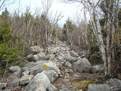
Here is a list of trail conditions, difficulty, elevations, and navigation: trails are marked with yellow flashes on handy boulders.
http://www.franklinsites.com/hikepho...-2008-0510.php
Crowds are listed as "minimal"I can't imagine why.