Thanks Woodsy!
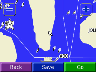
I just downloaded it and it looks great. Can't wait to give it a try once this weather breaks. I had tried Bizer's map on my nuvi 350 but because it is not designed as a marine unit the buoy colors where not differentiated, which made it somewhat less than useful. Here is a screen shot from the Bizer demo on the my nuvi 350.
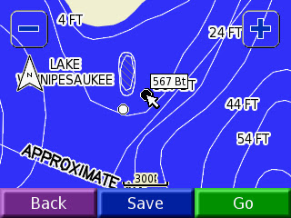
Garmin's map gets around that by showing the black buoys as black dots and the red buoys as white circles. Here's a screen shot of the Black Cat Shoals
Still not perfect but certainly worth $10.